Close navbar icon
Maps & 3D scene

Experience maps in stunning 3D
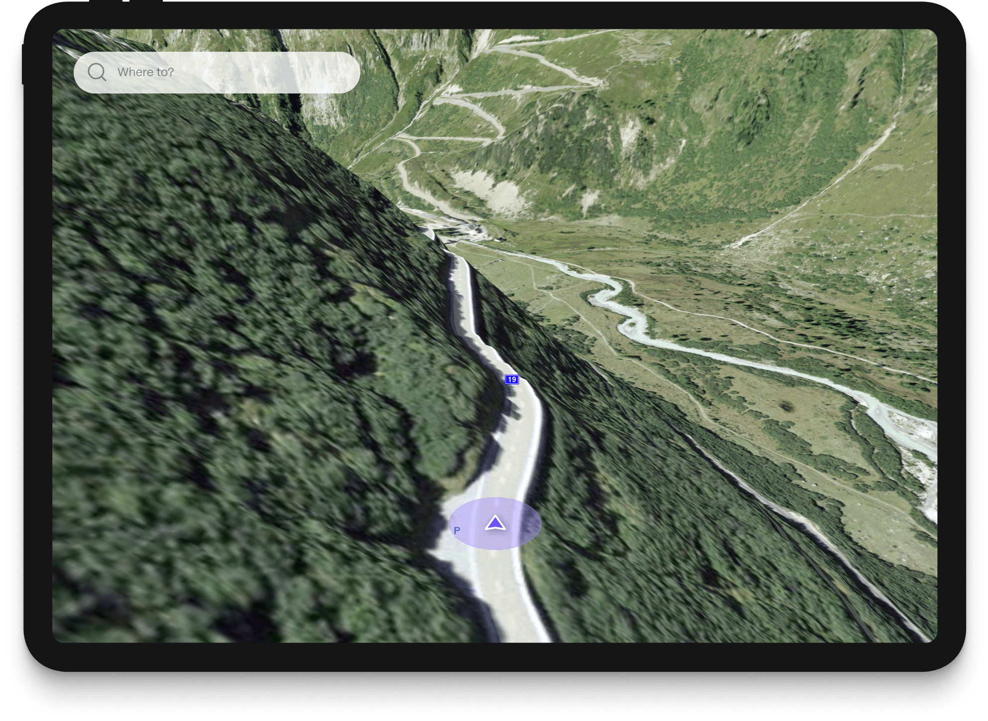
Experience maps in stunning 3D

Immersive 3D maps bring routes and adventures to life, letting users explore terrain, cities, and destinations like never before.

Craft beautiful routes for every adventure
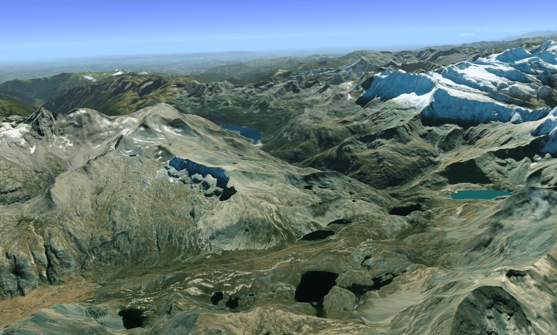
Image for Immersive 3D mapping
01

Immersive 3D mapping

Visualize landscapes, trails, and routes in dynamic 3D, offering an elevated perspective for planning and navigating outdoor adventures.
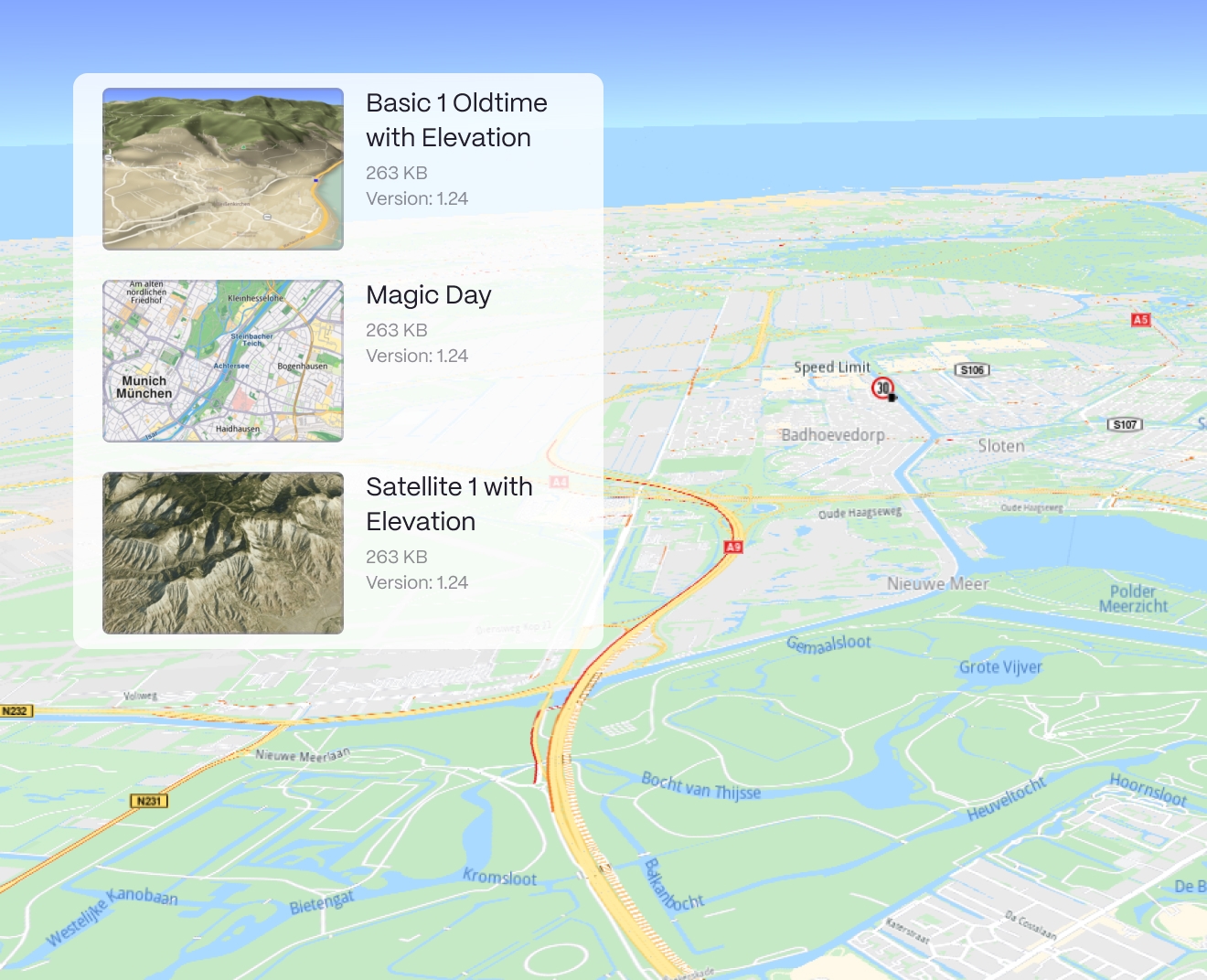
Image for Tailored map layers
02

Tailored map layers

Adjust perspectives and explore detailed layers that bring out key features like elevation, landmarks, and difficulty levels—all at a glance.

Customize every detail

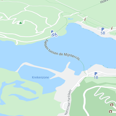
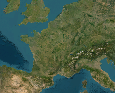
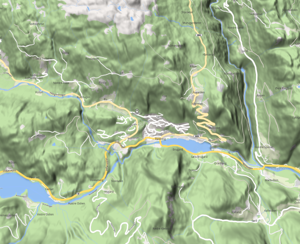
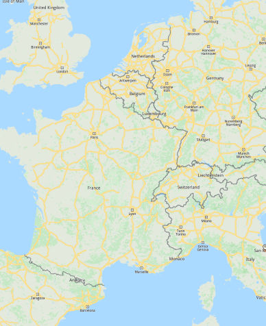
Configure map views with a variety of themes, enabling tailored solutions for different use cases and environments.
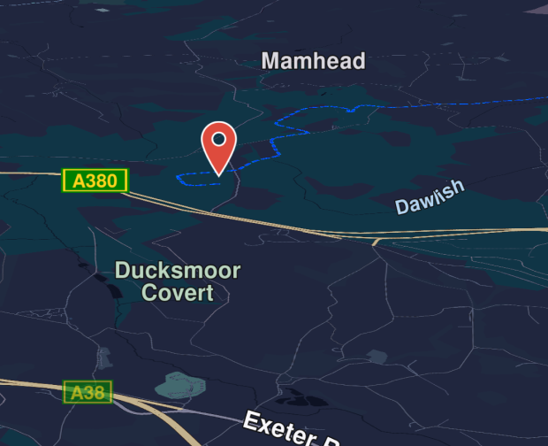
Basic
Basic
Night
Night
Bike first
Bike first
Satellite
Satellite
Terrain
Terrain

Smart route calculation

Image for Real-time data and updates
01

Real-time data and updates

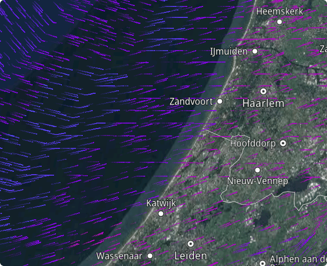
Access live weather, terrain, and traffic data to optimize routing and ensure a smooth user experience.
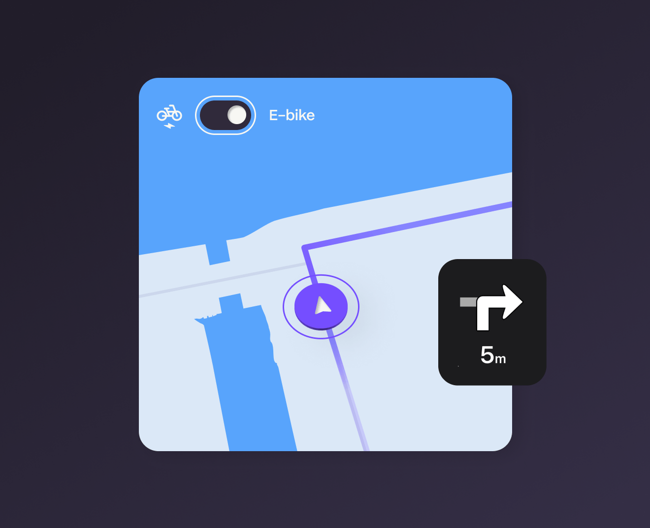
Image for Advanced route planning
02

Advanced route planning

Easily tailor routes based on terrain, fitness level, or activity, with AI optimizing the best paths.
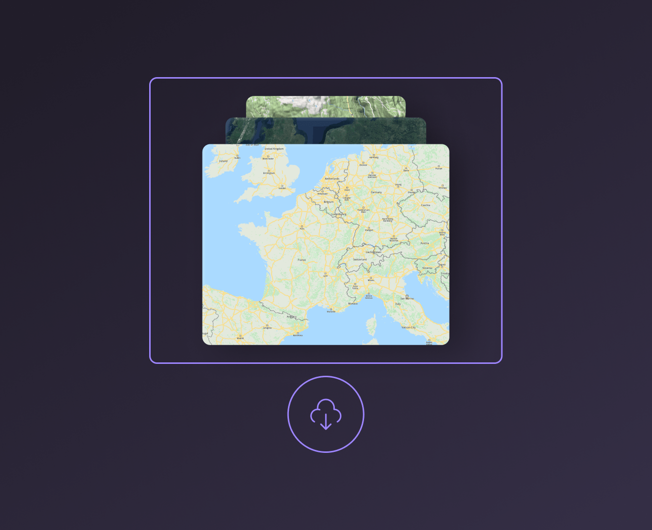
Image for Always on. Even offline.
03

Always on. Even offline.

Our lightweight technology lets you download maps and 3D scenes for offline use, ensuring navigation in remote or disconnected areas.

100% surveillance free

Designed for privacy, securing data and location at every step

Additional features

Fitness tracking integration

Seamlessly sync with fitness devices and apps to track performance, analyze stats, and monitor progress over time.

Community & sharing

Connect with a global community, share routes and achievements, and join challenges for extra motivation.

Push notifications

Get real-time updates on route changes, safety alerts, and friend activity on the routes you follow.

Heatmaps

Explore popular routes with heatmaps powered by community activity data.

Geotagged photos & videos

Capture moments with automatic location tagging to showcase every adventure.

Elevation profiles

See detailed elevation changes along your route to prepare for climbs and descents with ease.

Powered by Open Street Map

200+

countries covered globally

97m

updates a month, build by more than 9 million contributors

9.9m

registered contributors worldwide
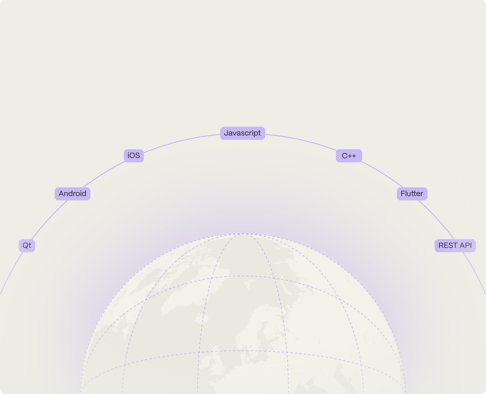
Built by developers, for developers

Built by developers, for developers

Icon for Best performance

Best performance

Integrate seamlessly with SDKs for every platform, optimized to deliver high performance and reliability.

Icon for More flex, less complex

More flex, less complex

No more implementation challenges; our flexible solutions make setup fast and simple.

Icon for Lightweight

Lightweight

Composable, lightweight software designed for smooth performance and scalability.

Solutions

Transformative solutions with
Maps & 3D scenes

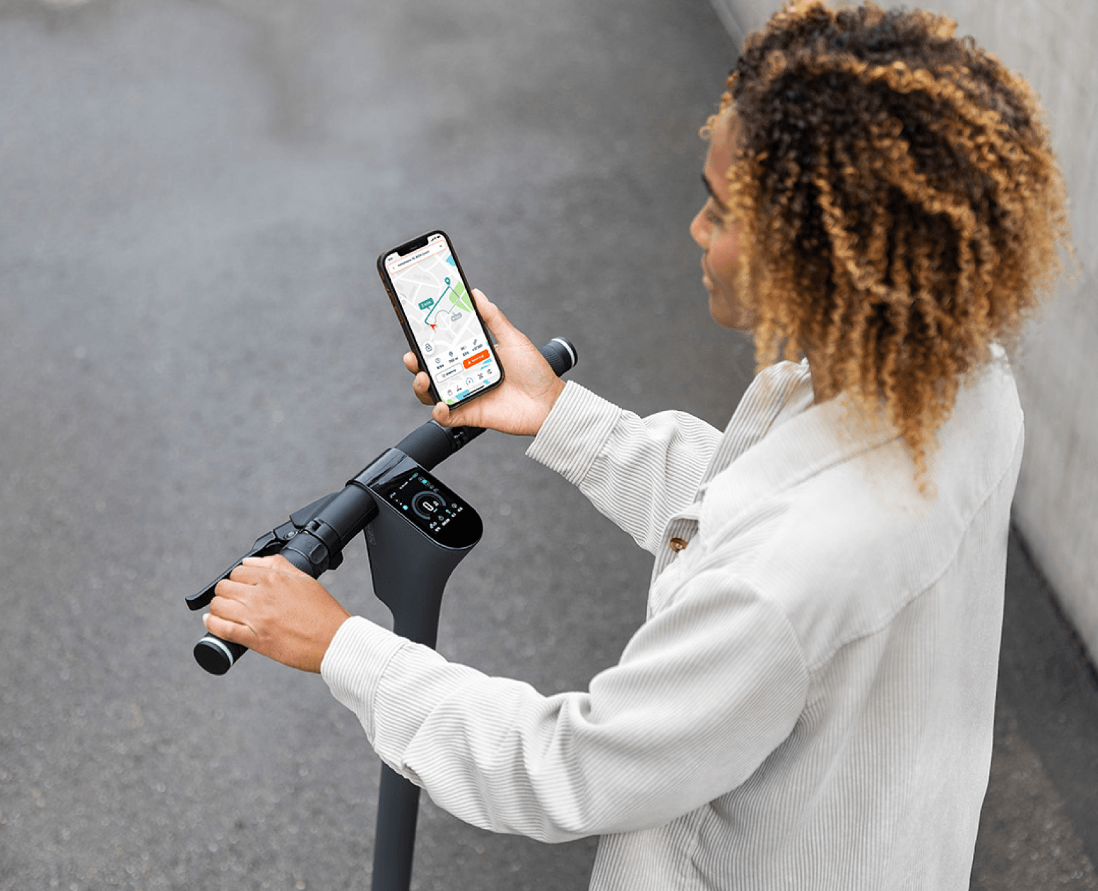
Micro-mobility, macro solutions

From electric scooters and e-bikes to hoverboards and sports apps, we offer innovative solutions for for all forms of micromobility.

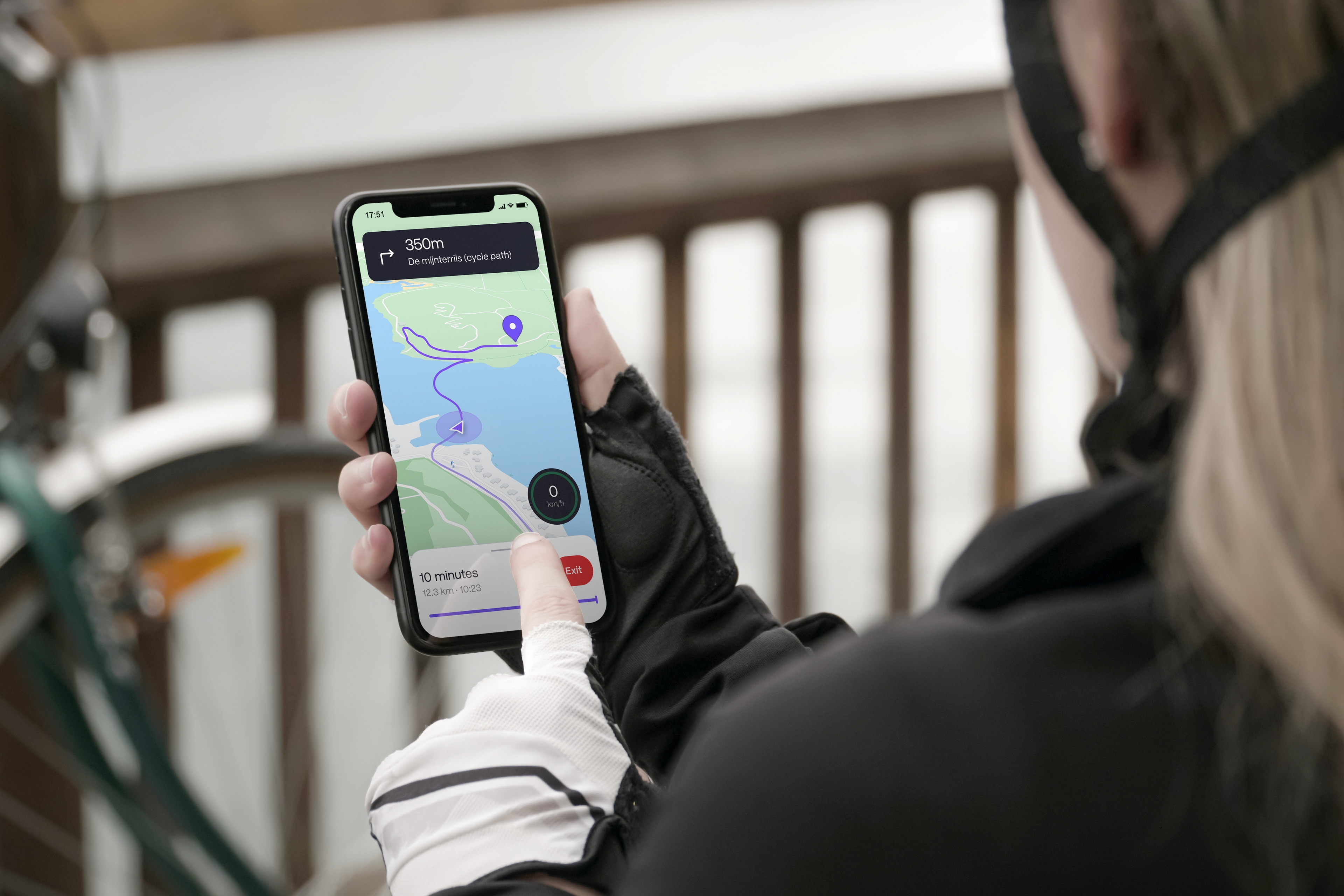
Precision technology for seamless E-rides

The e-bike industry is accelerating, and so is the need for technology made just for bikes. No car-focused features, only what e-bikers need to get where they want to go.

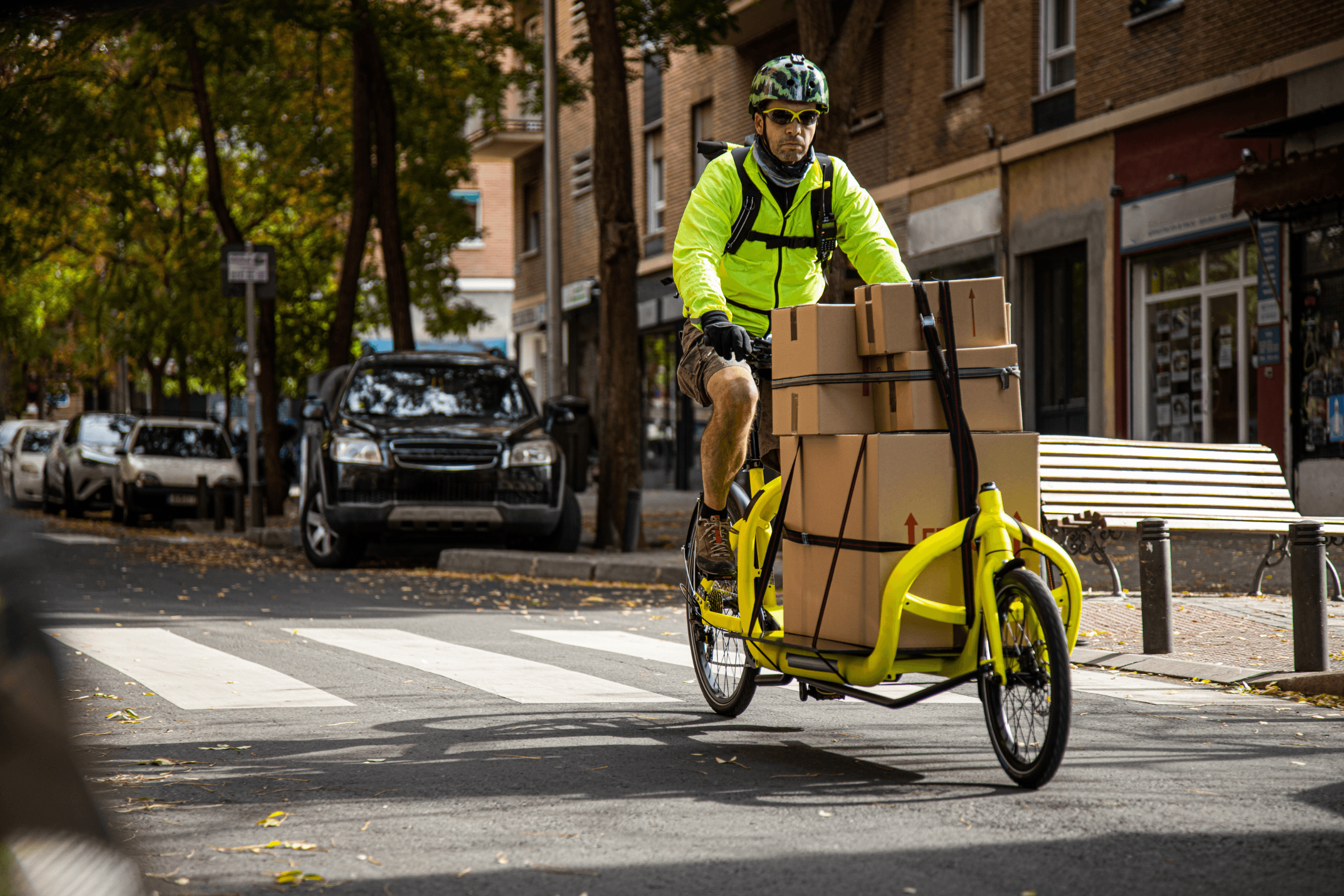
Streamlined fleet, smarter routes

Effortlessly plan routes for diverse vehicles, from long hauls to city cargo bikes. Our preprogrammed navigation app ensures safe, efficient deliveries—optimized down to the last mile with cutting-edge map data.

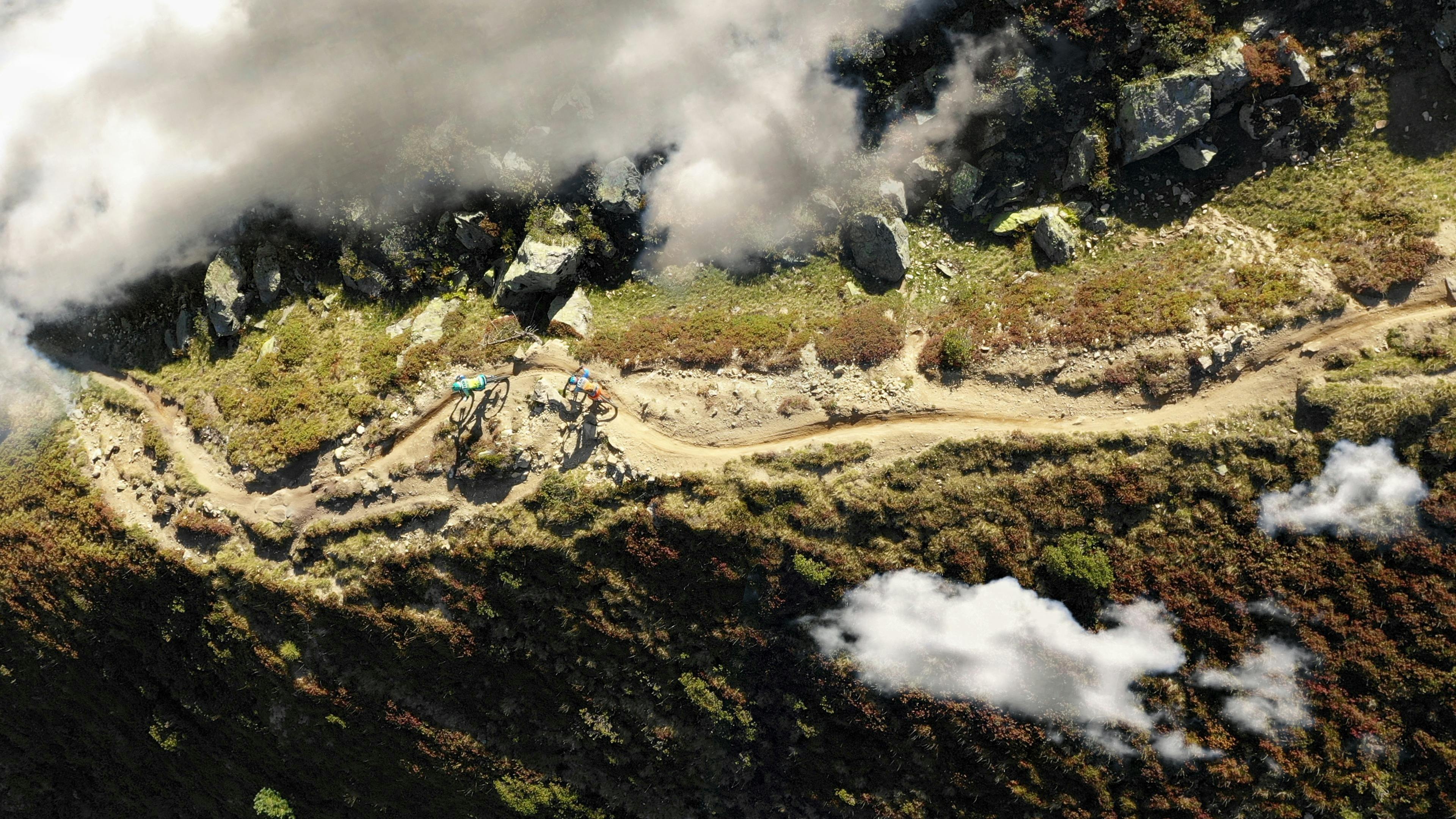
Mapping the outdoors for athletes and adventurers

We empower outdoor enthusiasts, athletes, and event organizers with offline navigation, 3D mapping, and real-time tracking. Our privacy-first platform provides a seamless experience for every journey and event.

Guiding every mile, for every drive.

Magic Lane delivers seamless, intelligent navigation for any journey, whether for cars, trucks, or EVs. With real-time data, offline support, and EV-specific routing, drivers get precise guidance everywhere, integrated effortlessly with CarPlay and Android Auto.

Blue light routing for every critical second

Built for speed and precision, our navigation solution empowers emergency responders to reach their destinations faster. With offline capabilities, priority routing, and custom map options, it`s designed for every critical second.

Global reach, local efficiency

An all-in-one solution for on-demand rides and deliveries. With one code base for riders, customers, and admins, our platform supports any vehicle type, optimizing routes to cut costs and boost profitability worldwide.

Own your data, drive your future

Launch faster, reduce costs, and gain full data control with a customizable Build, Operate, Transfer solution - designed for privacy, scalability, and seamless ownership.

Micro-mobility, macro solutions

From electric scooters and e-bikes to hoverboards and sports apps, we offer innovative solutions for for all forms of micromobility.

Precision technology for seamless E-rides

The e-bike industry is accelerating, and so is the need for technology made just for bikes. No car-focused features, only what e-bikers need to get where they want to go.

Streamlined fleet, smarter routes

Effortlessly plan routes for diverse vehicles, from long hauls to city cargo bikes. Our preprogrammed navigation app ensures safe, efficient deliveries—optimized down to the last mile with cutting-edge map data.

Mapping the outdoors for athletes and adventurers

We empower outdoor enthusiasts, athletes, and event organizers with offline navigation, 3D mapping, and real-time tracking. Our privacy-first platform provides a seamless experience for every journey and event.

Guiding every mile, for every drive.

Magic Lane delivers seamless, intelligent navigation for any journey, whether for cars, trucks, or EVs. With real-time data, offline support, and EV-specific routing, drivers get precise guidance everywhere, integrated effortlessly with CarPlay and Android Auto.

Blue light routing for every critical second

Built for speed and precision, our navigation solution empowers emergency responders to reach their destinations faster. With offline capabilities, priority routing, and custom map options, it`s designed for every critical second.

Global reach, local efficiency

An all-in-one solution for on-demand rides and deliveries. With one code base for riders, customers, and admins, our platform supports any vehicle type, optimizing routes to cut costs and boost profitability worldwide.

Own your data, drive your future

Launch faster, reduce costs, and gain full data control with a customizable Build, Operate, Transfer solution - designed for privacy, scalability, and seamless ownership.

Get started image
Get started

Start building without limitations

Access powerful tools and flexible options to create custom mapping and navigation solutions. Get started now.